Aims of the project
The aim of the project initially is to provide digital maps of the March of Wales showing how it looked before and after the Acts of Union of 1536 and 1542. Contextual essays describe the maps, who made them, and why they are significant. Medieval and early modern texts will be added over time to show how writers imagined the March and how ideas about it as a political and social space changed over time.
Research questions
This website represents the first stage of a larger project examining the history of the March of Wales and its legacy in modern Britain.
Initial research questions are:
- What is the history of the March of Wales?
- How did the boundaries of the March and its lordships change over time?
- What was the political significance of the March as a contested space before and after the Acts of Union?
- How can the March be recovered as part of the geographical and spatial identity of Britain?
Use and citations
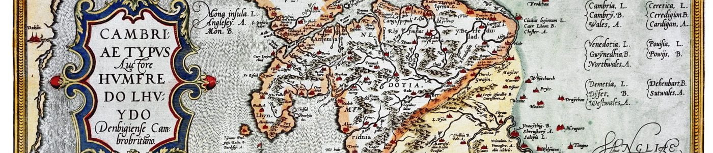
The maps are copyright to the National Library of Wales, Aberystwyth, and must not be downloaded or otherwise reproduced from this site.
To cite this website: Helen Fulton, ‘Mapping the March of Wales’ [http://www.mappingwelshmarches.ac.uk].
Project leader
The leader of this project is Professor Helen Fulton, Professor of Medieval Literature in the Department of English at the University of Bristol.
‘Mapping the March of Wales’ builds on research done by Catherine Clarke (University of Southampton), Keith Lilley (Queen’s University Belfast) and Helen Fulton on medieval Chester (www.medievalchester.ac.uk).
Acknowledgements
This website has been funded by a grant from the Faculty of Arts Digital Humanities at the University of Bristol. The text is by Helen Fulton with research assistance from Jo Hickey of the University of Bristol. The website was designed by Pete Boere.
I’ve always loved maps from a young age
Maps are such a great way to understand history. Glad you like the site.