List of maps on this site
(use the pull-down menu of ‘Digital Maps’ and click on each map to enlarge it)
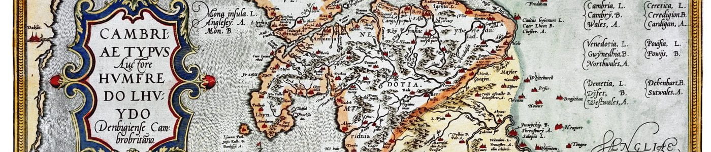
- Humphrey Llwyd’s map of Wales, 1572
2. Christopher Saxton’s map of Wales, 1580
3. John Speed (1551/2–1629), maps of the Marcher counties:
- Shropshire
- Herefordshire
- Gloucestershire
- Cheshire
- Denbighshire
- Glamorganshire
- Monmouth
- Montgomery
- Radnorshire
4. Estate map of Powis Castle and Welshpool, 1629
5. Re-created maps of medieval south Wales, drawn by William Rees, 1932
- North East
- South East
- South West
- North West