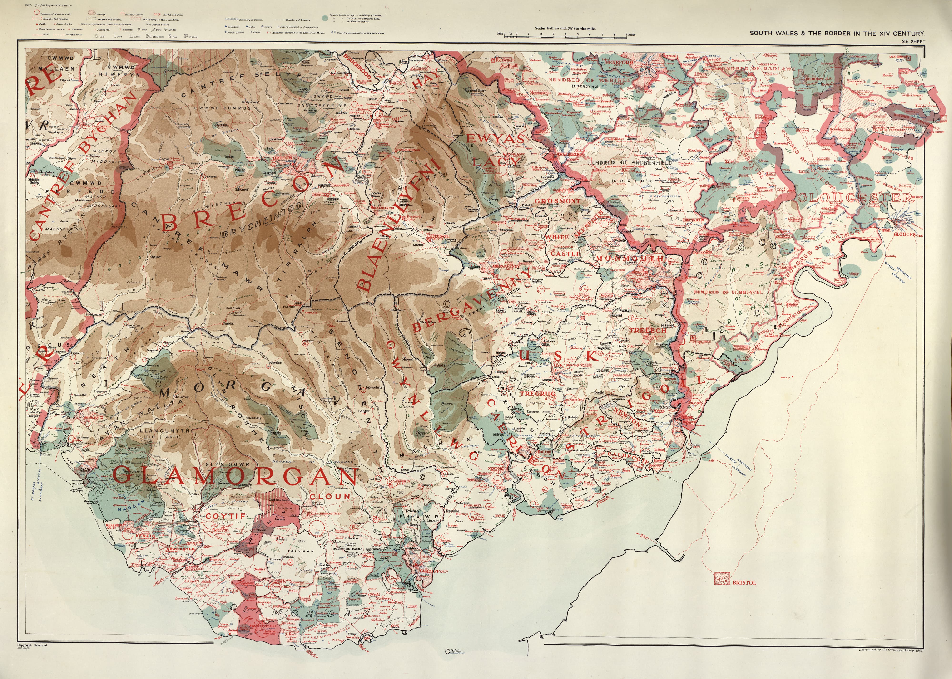
Re-created maps of south Wales drawn by William Rees, 1932
(by permission of the National Library of Wales)
North-West

North-East

South-East
South-West

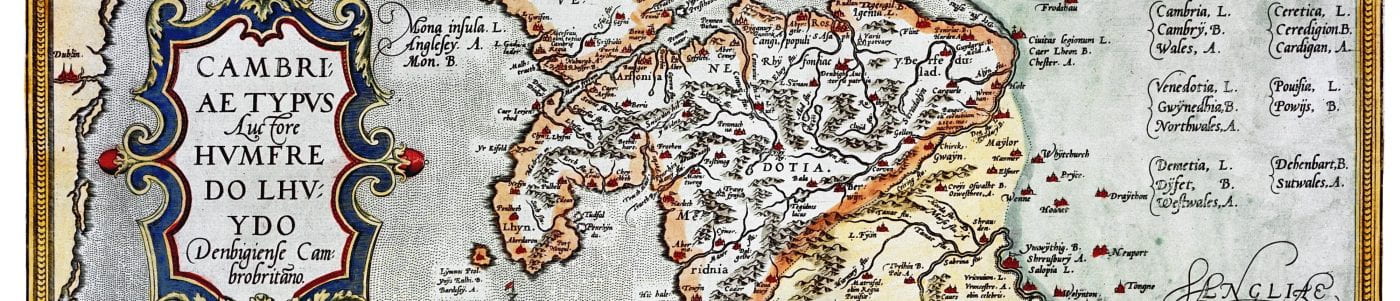
William Rees, a professional historian of medieval Wales, was born in 1887, the youngest of eight children in a modest Brecon farming family. A talented student, Rees won the opportunity to study at Cardiff University where he completed a Master’s dissertation on the medieval Marcher lordship of Brecon. An interest in landscape and history continued throughout his life. While teaching, studying, and researching during the First World War, he developed a particular enthusiasm for using maps to illustrate the war movement. The result was a lifelong commitment to the combined disciplines of geography, history, and politics.
While completing his doctorate, Rees began working on the maps and accompanying text that were later published as South Wales and the Border in the Fourteenth Century (1933). The finished book was based largely on Rees’s accumulation of published and unpublished materials from the Public Record Office and the British Museum gathered over a twenty-year span.
The map itself was published separately, in four large coloured sheets, by the Ordnance Survey in 1932, and it is these maps which are digitized here. The maps portray the historical landscape of south Wales with additional features and information which re-create the social, economical, political, and religious conditions prevailing in the fourteenth century.
Published during an upsurge in European map-making, Rees’s book was well received internationally, while contemporary reviewers hailed the work as a ‘definite advance in the geographical study of history’. Rees described his efforts as ‘the reconstruction of a lost topography’ to enable a ‘fuller understanding of the social landscape’. He was particularly proud of his map and was known to provide free or low-cost copies to other scholars of medieval Wales.
Rees continued to publish historical maps, notably An Historical Atlas of Wales from Early to Modern Times (1951). He died in 1978 aged 90. South Wales and the Border in the Fourteenth Century remains a valuable cartographic survey of south Wales and an informed re-creation of its medieval topography.
References
Griffiths, Ralph A., ‘William Rees and the Modern Study of Medieval Wales’, in Wales and the Welsh in the Middle Ages, ed. by Ralph A. Griffiths and Phillipp Schofield (Cardiff: University of Wales Press, 2011), pp. 203–220.
Pierce, Gwynedd O., ‘Obituary: William Rees (1887–1978)’, Welsh History Review, 9.4 (December 1979), 486–92.
Randall, H. J., ‘Wales in the Fourteenth Century’, Antiquity, 7.27 (September 1933), 329-336 (review of Rees’s South Wales and the Border in the Fourteenth Century).
Rees, William, ‘The Mediaeval Lordship of Brecon’, Transactions of the Honourable Society of Cymmrodorion (1915-16), 165–224.
Rees, William, South Wales and the Border in the Fourteenth Century (Cardiff: Western Mail, 1933).